When time and distance keep you from getting your job done quickly, our satellite and aerial imagery is the solution. Our imagery lends context to your geospatial data allowing you to make rapid decisions that save both time and money.. We help organisations collect, analyse and apply satellite imagery data globally to inform their business projects or scientific studies, and evidence their activities. Our experienced and dedicated consultants provide free, unbiased advice and have access to some of the best imagery in the world.
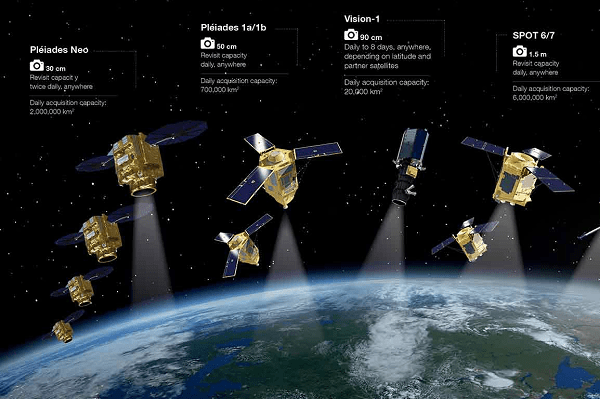
We can understand what’s in your budget, what kind of image you need, and how that image should be collected and delivered based on the application. Our sensor agnostic approach allows us to decipher the market for our clients and identify the best satellite options for any size and resolution required. offers a variety of low, medium, and high resolution satellite imagery datasets for nearly every location on Earth. offers the most comprehensive suite of commercial satellite imagery; our diversity in resolution, currency, spectral bands, and accuracy
On Demand New Imagery
We collect request an imaging satellite take a new picture of any location on Earth. We presents the user with several satellites varying in capability, responsiveness, and price. This allows the user to review options and select the best satellite for their needs. New satellites are being added to our providers on a regular basis, making them a marketplace for new tasking. The tasking process also provides regular status updates from the satellite operator, including a notification of planned imaging time.

Archive Imagery
We have on-demand access to the most recent and highest resolution commercial satellite imagery archives. Satellite imagery archives are collections of Earth images taken by imaging satellites operated by governments and businesses around the world. We have broad access to satellite imagery. With no industry standard minimum purchasing agreements, our clients have the flexibility of a la carte satellite imagery sales. Image prices start as low as $20.
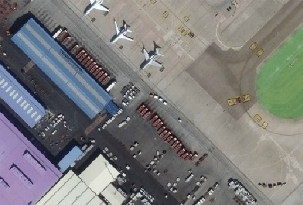
High Resolution Image
We collect request an imaging satellite take a new picture of any location on Earth. We presents the user with several satellites varying in capability, responsiveness, and price. This allows the user to review options and select the best satellite for their needs. New satellites are being added to our providers on a regular basis, making them a marketplace for new tasking. The tasking process also provides regular status updates from the satellite operator, including a notification of planned imaging time.
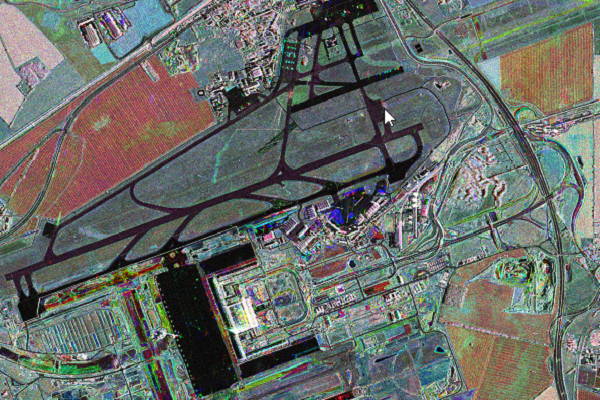
Medium Resolution Image
We have on-demand access to the most recent and highest resolution commercial satellite imagery archives. Satellite imagery archives are collections of Earth images taken by imaging satellites operated by governments and businesses around the world. We have broad access to satellite imagery. With no industry standard minimum purchasing agreements, our clients have the flexibility of a la carte satellite imagery sales. Image prices start as low as $20.

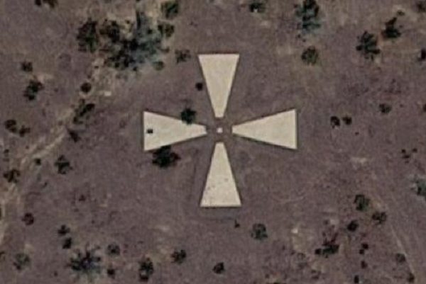
Stereo Image
Stereo satellite images have the potential for creating DSM/DEM's. The primary advantage of stereo imagery is the ability to extract vector features and geographic features in 3D such as buildings, roads, manmade structures and other terrain features. This accuracy can be consistently achieved with terrain slope conditions of 20%. Stereo satellite imagery is especially important for global markets where accurate elevation data is not readily available.

Radar Imagery
SAR images have distinct features that make it a reliable method of observing our planet Earth. The instrument does not require sunlight, so it can be used to image areas during the night as well as during the day. ICEYE SAR instruments use X-band radio waves for gathering data, which can penetrate through cloud cover.Detect change through inclement ground conditions and at night with radar imagery. This type of imagery can penetrate clouds and darkness—delivering uniquely reliable monitoring capabilities to civil, commercial and defense organizations around the world.
ACCURACY
Our advanced accuracy technology ensures content from Maxar is as closely aligned as possible to a known coordinate on Earth. The average positional accuracy of our imagery is less than 5m CE90.
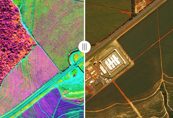
Spectral bands
Go beyond what’s visible to the naked eye with multispectral imagery, including short-wave infrared (SWIR). Classify vegetation health, categorize man-made and natural material, penetrate smoke, detect fire, map minerals and more.